- Hawaii
- Big Island
- Climbing the Pu'u Wa'awa'a Cinder Cone for a breath of fresh air

If you feel like stretching your legs and getting some fresh air, take a trip to Pu'u Wa'awa'a Cinder Cone State Park, a small protected park on the heights north of Kona on Big Island, which allows you to reach the top of the ancient Pu'u Wa'awa'a Cinder Cone via a short hike.
Thanks to the altitude here (between 660m and 1200m), the air is cooler than at the edge of the ocean, which is very pleasant in hot weather. The trail that starts on the Volcanite Road and ends via the Cinder Trail is easy, except for the last section on the sides of the cone which is a little steeper. At the top, if the weather is clear, the panorama allows us to admire the surroundings, from the ocean to the summits of Hualālai and Kohala.
However, this hike will be reserved for those who will have some time in front of them at Big Island, and who will want to climb to refresh themselves, as the time and effort required for the climb is not really worth the view at the summit.
Summary
1How to get to Pu'u Wa'awa'a Cinder Cone State Park
Access to the park is from Highway 190, just before arriving at Makani Golf. The entrance is guarded by an automatic gate that opens as soon as you approach if you come during the park's opening hours between 6 am and 6 pm.
A few dozen meters further on, a hut will show you the maps of the different trails.
Don't forget to take a picture of them as there are almost no signs on the trails.

You will also have to register to indicate your presence. Remember to do this with the pen and paper in the small box next to the courtyard, to indicate your presence and if you need to be rescued.
It is possible to start the trail at this first shelter or to move your vehicle a few meters forward until the road is blocked by a chain. A second parking lot allows you to park here, which we have done.
2The hike step by step
From the parking lot, continue on the asphalt road that gently climbs towards the cone. The first 2 kilometres are really monotonous. The road is straight and doesn't seem to end with any interesting scenery.

The change finally arrives when you reach the end of the asphalt road, which turns into a pebble track, quite loose by the way. The landscape then changes to become greener and it is already cooler. As we turn around, we also start to have a nice view of the coast up to the volcano Kohala in the north.
The pebble track continues up through what will become a kind of green mountain pastures where you can meet goats, sheep or Nēnēs.

Once you reach the base of the small volcano, the track is covered with grass and eventually turns into a path. From there, you have to aim at the gate on the right side of the main path. This will allow you to cross the fence and access the path that climbs to the top of the cone.

The last part of the ascent is relatively steep but does not present any particular difficulties.
Once you reach the pass, don't linger, the view is blocked by the trees below. Prefer to turn left to reach the highest part of the cone which will offer you a nice view of the foothills of Hualālai to the south, Mauna Kea to the east and Kohala to the north as well as the coast of Kona to the far north of the island.

Benches are arranged at the top, enough to have a bite to eat while admiring the landscape before coming down.
It took us about 4 hours to make the 10.8 km round trip really quietly knowing that we did not follow the loop proposed on the park map and preferred to take the same trail on the way back. The difference in altitude is 540 meters.
If you wish, you can take Miki's Road and the 'Ohi'a Trail instead of the Vulcanite Road on the way back.
3When to hike Pu'u Wa'awa'a Cinder Cone
It will be preferable to do this hike early in the morning to have a clear view of the surroundings (before 9am if possible) as clouds tend to accumulate quickly on the summits.
A walk in the fresh air!
The climb's pretty boring.
A lot of effort for a simple panorama at the top.
A hike to be done only if you have some time in front of you!
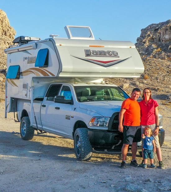
We are Sandrine and Flo, French thirty-somethings. In 2019 we quit everything to live our dream, become nomads and travel around the world. We left with our baby, Lena, who was only 5 months old at the time. After a first trip around the Pacific Ocean by plane and a long 3 months stay in Hawaii, we left to discover Iceland for 3 months on board our 4WD pickup truck and truck camper. Then we continued our adventure in North America.

Today, if we can continue this adventure, it is above all thanks to our blog, Smartrippers! We created it one day in 2016, with the desire to share our good travel tips, without thinking that it would lead us there! We have developed it a lot over the years and have become experts on our 3 favorite destinations: Hawaii, Iceland and the American West. We now guide you to these destinations to help you plan the trip of your dreams!
Follow our adventures!